Massing studies like never before
Canvas is cloud based software with powerful, easy-to-use AI tools for early stage design and assessment of urban development.
Create and compare building options in seconds, inside the zoning rules of the site.
- Green space
- Residential
- Business
What is Canvas
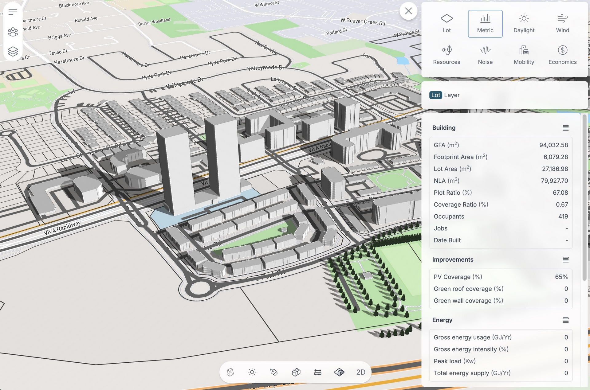
Urban visualisation
An advanced 3D representation of the built environment and critical infrastructure, augmented with real world performance metrics.
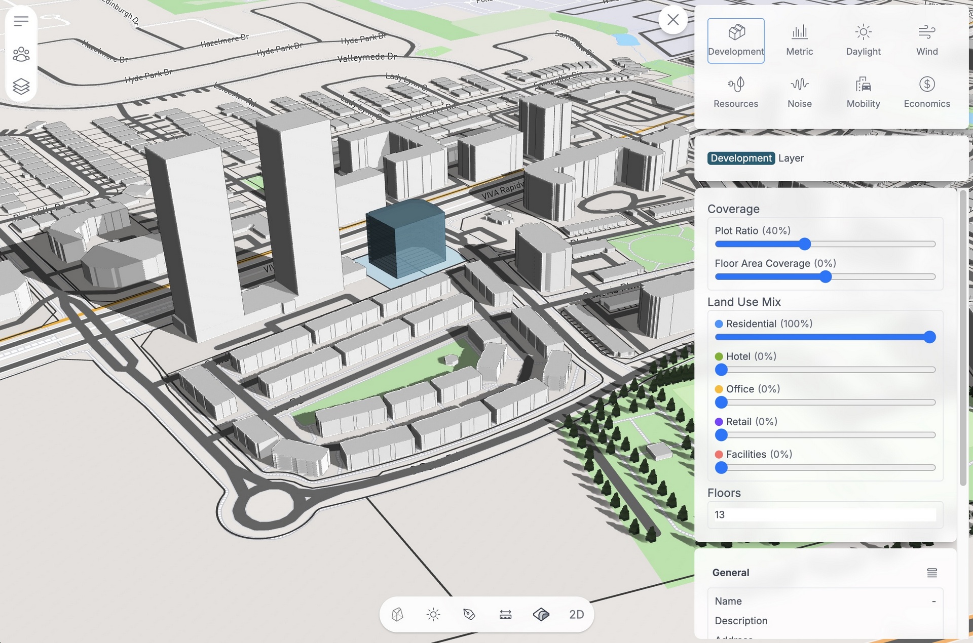
Urban optimisation
A suite of generative AI tools designed to create and analyze optimal design scenarios for future cities, aiming to enhance performance, minimize environmental impacts, and maximize financial viability.
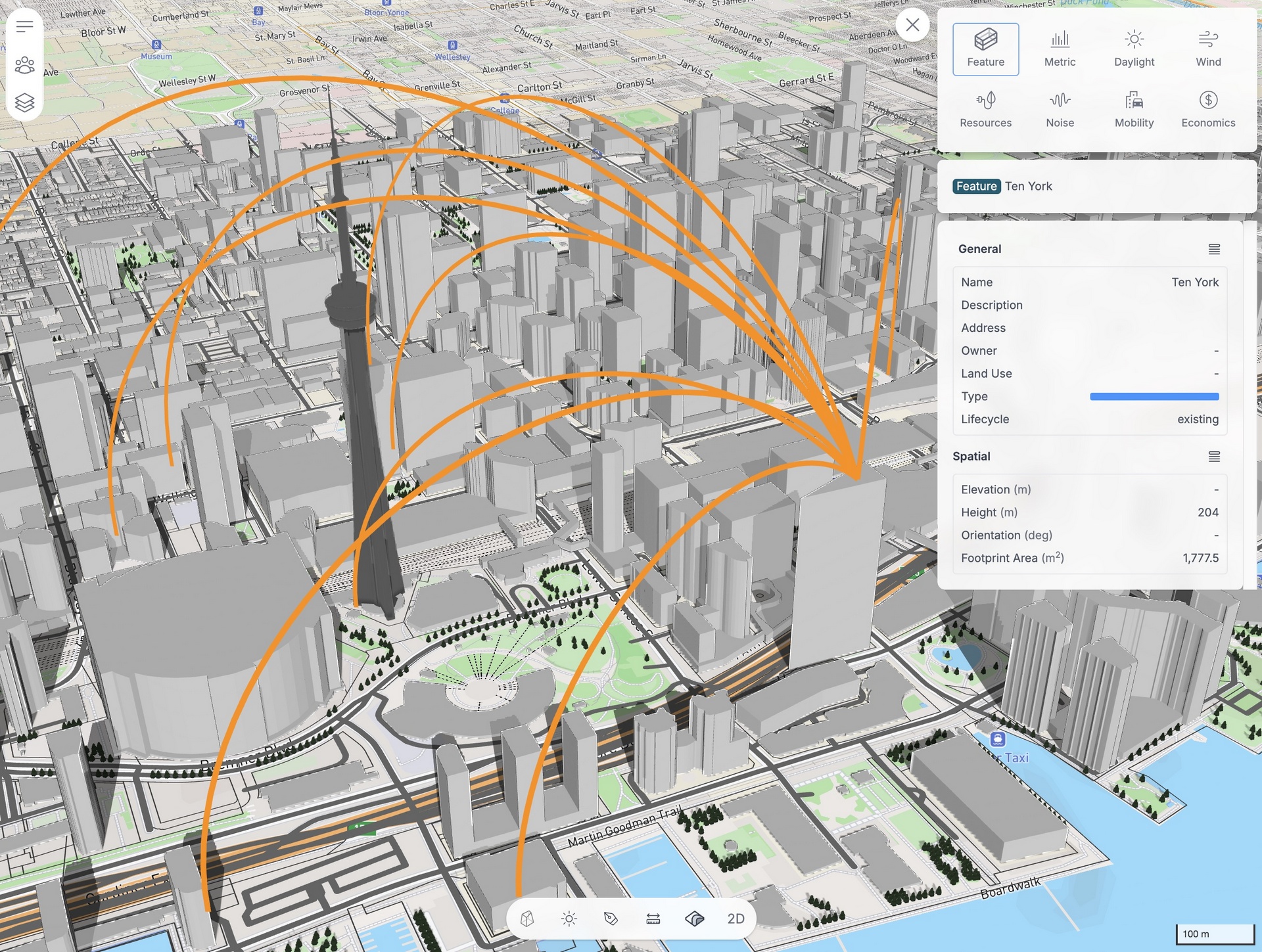
Urban collaboration
A collaborative and iterative design workflow to accelerate the planning process between stakeholders, in order to build faster and better.
Speed up your process
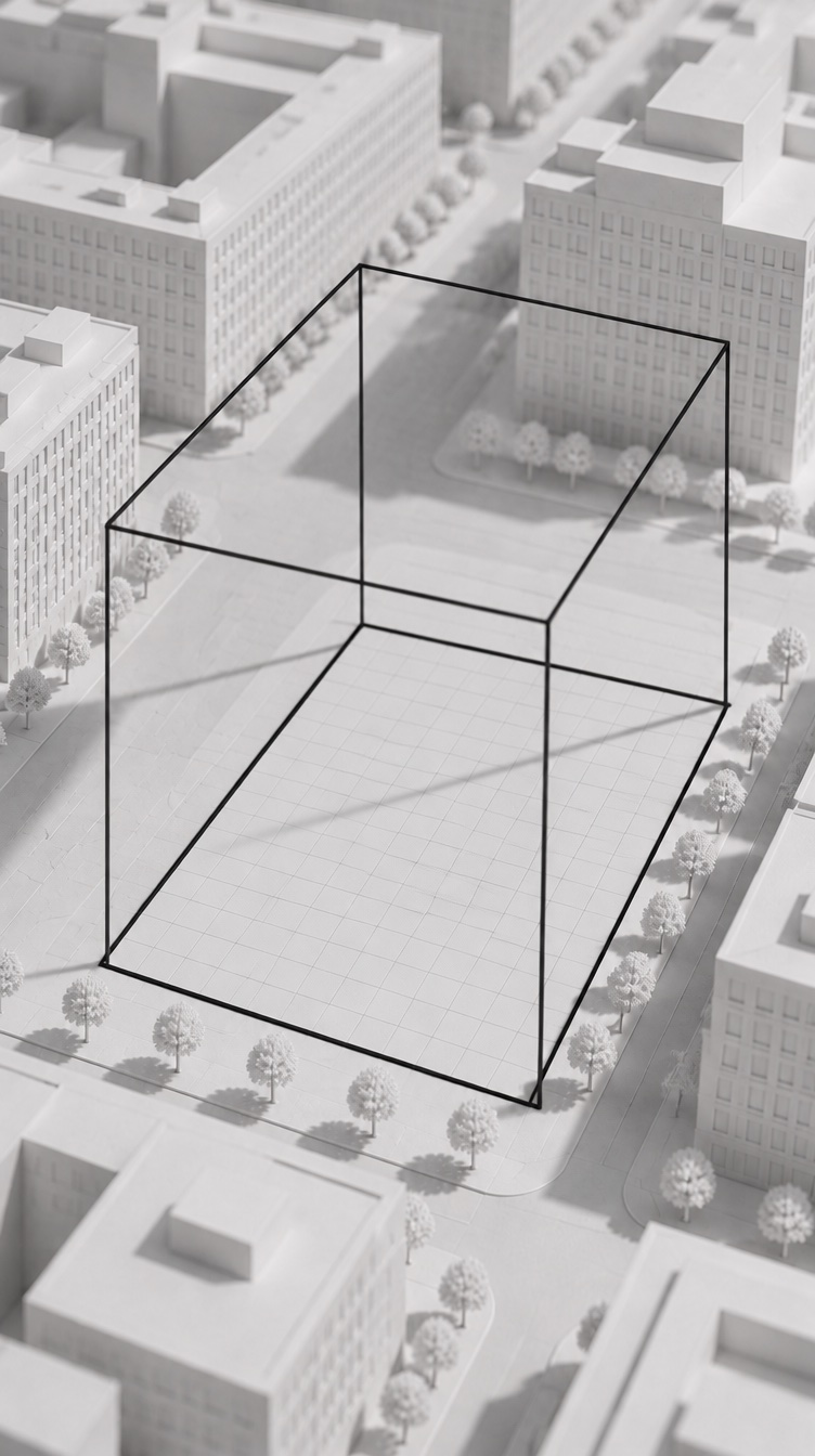
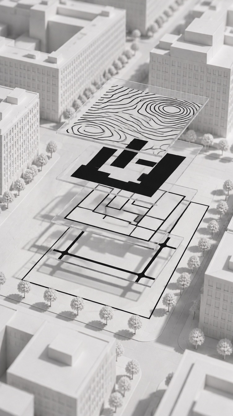
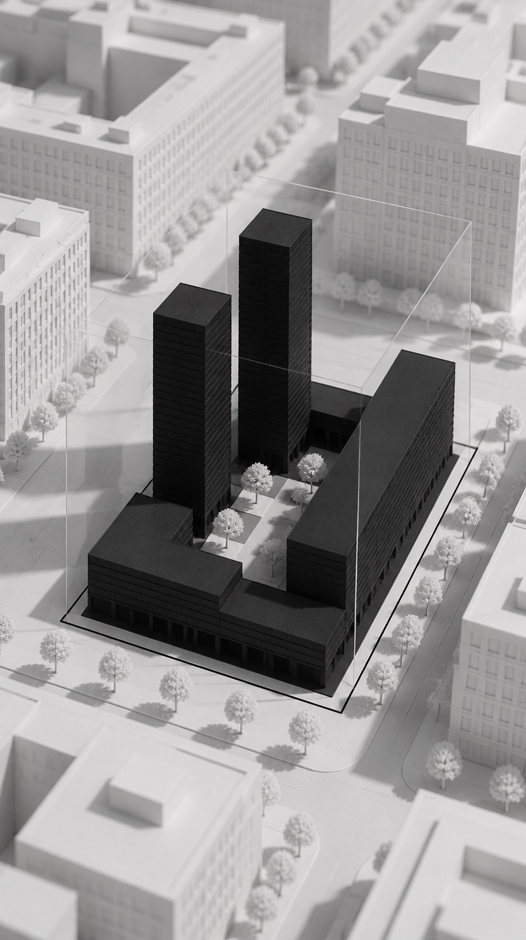
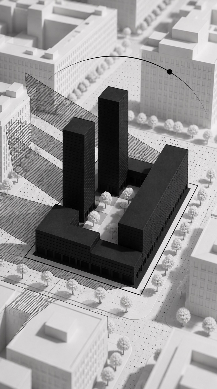
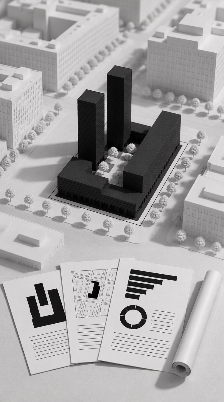
Set design requirements
Enter or upload the area’s zoning regulations such as maximum FAR, site coverage, green areas and maximum building height, and create custom land-use types for greater flexibility and calculation precision.
Import assets
Drag and drop your design files into Canvas. Import all your GIS data and documents, and Canvas converts them for interactive use in the dashboard.
Generate new ideas
Use the Canvas Massing AI to see how zoning rules perform in space, set maximum geometrical building values for the generator, or import your DWG floor plans.
Analyze performance
Canvas evaluates designs against local codes and regulations and reports performance instantly, so you can review, modify and optimize your designs quickly.
Generate reports
Export all your assessment data and generate permit reports in real time, as PDF, Excel and interactive 3D, so you can focus on what’s important.
A digital twin of your city
A digital twin is a city's virtual counterpart, mirroring the real-world urban environment through integrated data layers: buildings, urban infrastructure, utilities, resources, businesses, people and vehicles. Canvas builds it by merging data streams, sensor-based and otherwise, from public and private sectors.
A City Explorer shows the model in 3D, and an Analytics suite runs scenario simulations on it, extending the view to time, cost and performance. Digitizing urban spaces pinpoints areas lacking services, supports Sustainable Development Goals and ESG reporting, and opens real estate assets to fractional ownership.
- Environment
- Infrastructure
- Water
- Waste generation
- Mobility
- Education
- Energy
- Health
- Communication
- Safety and security
See the big picture while staying focused
- CapacityQuickly understand the multifamily development capacity of a site given the zoning constraints.
- PolicyIncorporate and better understand the impact of local, state and federal policies, particularly around housing requirements and incentives.
- SitesKeep track of potential sites and iterate on a project over time as conditions and local policies change.
- SharingExport summaries of your projects to share, or invite others to collaborate on projects.
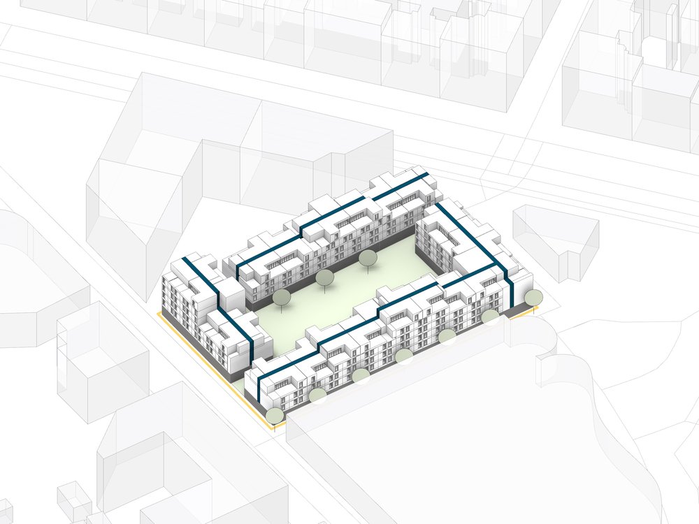
Context is key. A site does not live in isolation. Its context may be the single most important aspect influencing the design of new or additional urban canvas.
Seven lenses on every option
 ShadowOvershadowing of streets, parks and neighbours through the year.
 WindComfort at ground level around the new volumes.
 ResourcesEnergy and water demand of the plan as drawn.
 NoiseExposure from roads and rail across the site.
 MobilityAccess, parking and micromobility capacity.
 EconomicsAssessed investment and yield per land use.
 PermitCompliance against the local code, exported as a report.