North Melbourne
Australia, City North precinct
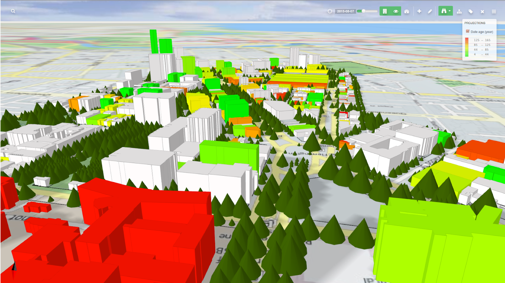
In Melbourne's City North precinct, Canvas combined the constructed, regulatory and natural landscapes in 3D and filled the permitted building envelope with automatically generated models.
In the City North precinct of Melbourne, we compiled data to offer users a three-dimensional view of the current constructed, regulatory, and natural landscapes. Our tool, Canvas, integrates the maximal construction scope allowed by Melbourne’s development regulations, employing this framework to fill the space with automatically generated building models. This allows the new structures to be evaluated in the context of the existing environment, facilitating the analysis of their effects on local infrastructure and services.
Local zoning codes define the permissible uses for specific land parcels, imposing limitations on building designs such as height restrictions, required setbacks from property lines, the extent of shadows cast on nearby parks at certain times, and the designated uses of the building, whether residential, commercial, or mixed-use.
Zoning regulations and overlays aim to shape future land development, ensuring sustainability and public welfare. However, their notorious complexity can increase construction costs and extend project timelines. Developers are also keen to grasp both the short and long-term economic prospects offered by data from surrounding neighborhoods, districts, and natural environments. Navigating this multitude of factors turns the analysis of development feasibility into an intricate and lengthy process. Canvas addresses these factors by treating them as both constraints and opportunities, aiding in devising the most optimal development plans within minutes. By describing and visualizing these parameters clearly, Canvas simplifies the process for planners, developers, and residents, making it easier for them to comprehend and operate within the established guidelines.
Petaling Jaya